Nearly Pining for the Fjords while Fording in the Pines
I finally get lost in the Pine Barrens
Some days you get skunked.
A few weeks ago, I set out to follow the path of the Tuckerton Stagecoach that ran from the Delaware river to Little Egg Harbor, using Barbara Solem-Stull’s guide.1 I began in Atsion, an abandoned iron town that’s easily found on Route 206, as one of the former buildings is now used as a Ranger Station. The former road is cut up but you can follow most of it, so after exploring the ruins of a furnace, a cotton mill, and a railroad stop, I took the road to Quaker Bridge. I found a kayak that had fallen off someone’s car and moved it to the side of the road. But that wouldn’t be the only obstacle on my trip.
Quaker Bridge was built—by Quakers, imagine that—after several members of their congregation drowned crossing the Batsto River to their summer picnic place. Fording the river was treacherous, and once the bridge was built, the road became more traveled, on foot, horseback, and coach. It’s still traveled today. I met a family in two Jeeps, and a couple in a Hyundai crossover. And an old school bus run by Pinelands Adventures, who had lost their kayak. I told the driver where I’d found it.
There’s not much in Quaker Bridge these days. A public house (tavern) had once been built on the crossroads, but all that remains is a lumpy cellar hole. Leaving the area are several roads.
I took the wrong one.
I don’t feel so bad. When I read up on Atsion to find the source of the name—it’s Lenni-Lenape for “meeting place”—I learned that the rangers spend a lot of time finding people who get lost in the Pines.
I took Penn Swamp Road instead of the Washington-Quaker Bridge Road, which if you can believe it, leads from Quaker Bridge to the ghost town of Washington. (There are several other Washingtons in New Jersey, so George will be fine.) Next to it is the town of Mount, which makes old maps declare it as “Mount Washington,” which made me grin. However, my car would not reach Mount or Washington this day.
After leaving Quaker Bridge, I followed the sandy road to Penn Swamp, looking for the intersection that Solem-Stull said to take, and I drove right past it. I realized I was on the wrong road about a half mile in. I was using the car’s navigation and Google Maps. I have a handheld GPS as well, but I didn’t turn it on because it looked easy to get to. So I backed up a ways, got passed by a bunch of dirt bikers (more on them later) until I could turn around.
The intersection was more like a deer trail. But stubbornly, I took it. Unlike the better-traveled Penn Swamp Road, this one was rougher, and branches slapped both sides of the Outback as I carried on. Then came the first of many washouts. I got out with my hiking pole to measure the depth, or took go-arounds when I could. I watched the town of Mount get closer on the GPS. So close.
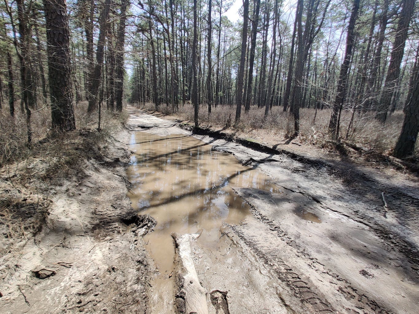
And then came a washout that was too big to chance:
It doesn’t look that bad, does it? The left side was over a foot deep of water over soft mud; on the right, I found logs and shredded clothing that had been used for traction by previous travelers, so I didn’t want to chance it. Originally I was looking at a Jeep Gladiator truck, but not only do they run sixty grand for the off-road models and have terrible reputations for reliability—including Car and Driver magazine complaining that the soft roof leaked in a car wash—but dealers were asking a ten thousand dollar surcharge because of “low inventory.”2 (Maybe it was sour grapes, but I felt justified in going with the Outback after reading that Jeep voided a woman’s warranty after she drove through mud. I don’t have room for a third vehicle, my shade-tree mechanic days ended when I sold my ‘65 Mustang convertible, and I wanted more than 17mpg. So I got what I got. Moving on.)
I turned around again, and went back down the Penn Swamp Road I had been on originally, and met up with the pair in the Hyundai. The driver had taken his boots off and was toeing in the mud of another large washout. There was a muddy go-around that snaked through some tightly packed trees. I think the mud had him spooked, since he had road tires and was pretty low to the ground. I tested the water again, and my hiking pole sank too easily into the muck for me to chance it. But I knew I could squeeze through the go-around, as I had the pleasure of using several that day already.
The mud was no problem a car wash couldn’t fix. I got through with a messy undercarriage, to which I am no stranger. (If we ever meet, for a drink I’ll tell you about my adventure with vindaloo that ended in a Scottish sheep field.)
I waited for the Hyundai to make it out, and then took the muddy road a few blessed feet to where it intersected with Washington Turnpike. That makes it sound paved, which it’s not. It’s a washboard gravel road and I had no idea where I was, because both my phones had no signal and the car’s GPS didn’t show this “turnpike,” which got its name because some colonial douche charged tolls on it back in the day. I fired up the handheld GPS and got no better; I didn’t know what direction to go.
So I said fuck it, there was another road parallel to the swamp road, and my best guess was that it would lead to Mount and Washington! And I was right. I followed it on the GPS and it went directly where I wanted to go.
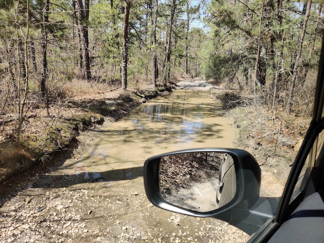
It was as tight and rugged at this end as it was on the other end. I made it nearly a mile twisting through go-arounds that avoided deep washouts until I reached a go-around that was as washed out as what it was meant to go around:
So I turned around again and made my way back to the Turnpike, where I had no idea where to go. By then I was hungry, I’d drank most of my water, and I was cranky at being flooded out twice. Luckily I met a trio of friendly dirt-bikers who pointed me towards Batsto. I found a paved road, got signal, and punched in the address of a taco truck I’d been wanting to try.
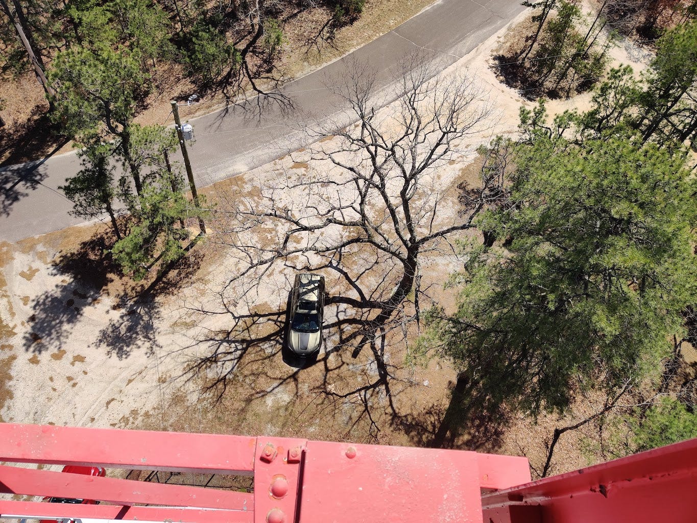
But before I found tacos, I found a fire tower. Now, I have been trying to climb Apple Pie Hill fire tower for a month of weekends, but it’s either been unmanned or too cloudy to bother. Today was clear. And the Batsto fire tower had a truck parked under it. I wasn’t getting skunked twice.
I am not afraid of heights, generally. (My mother is, so I send her photos of me dangling my feet off the Cliffs of Moher.) I wasn’t so much afraid of heights when I reached the top of this rickety, wide open, creaking hunk of metal as I was afraid of my clumsy ass stumbling in a wind gust and tumbling down all twenty sets of iron stairs. Here’s a video of how windy it was. I have no idea what I was saying:
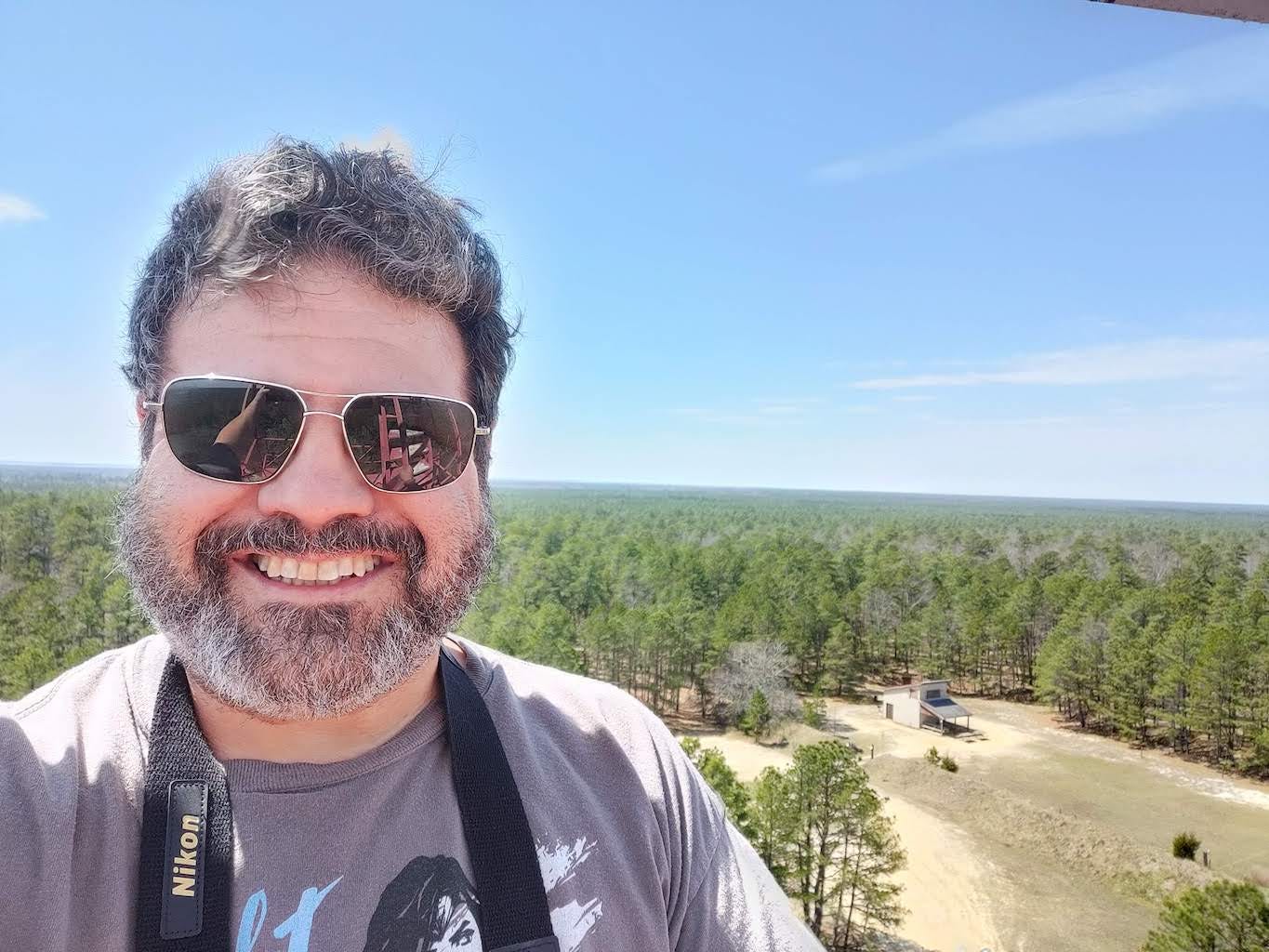
In the photo below, you’ll notice I have binoculars around my neck. I did not use them, not even one handed. It was that precarious, after I’d taken the obligatory selfie. (I’d be damned if I was going to die before I had tacos.)
This is a smile of pure terror.
I got my tacos at Tacos al Carbon. All of them. Lengua, chorizo, al pastor, and carbon. And horchata. Everything was delicious, because I had just tasted defeat and near death, and they are the finest of sauces.3
That night, I opined in the Pine Barrens Forums about the roads that kept me from Mount. I also double checked the online topographical maps they manage, and found another road in. The seasoned explorers commiserated, and said that the road I had found was my best bet… but nothing is certain in the Pines. A few days of heavy rain, and it may be unreachable. One suggested a fat tire bike, and I am looking into them. (They are very expensive and hard to get due to the insidious, tangled links of the supply chain at the moment.)
If the weather is good, my next foray will be to make it to Mount, and then explore the next stretch of the Tuckerton Stage Road. Before that, I will post about three adventures that were wildly successful:
Upcoming Stories in The Pine Bairn:
The Train Don’t Stop in Atsion No More
Gabreil Davies and the Indian Kings
Return to the Jersey Devil’s Blue Hole
Addendum:
The Pine Bairn is no longer paid-only. If you’re a free subscriber, you’ll get access to the previous posts in the coming weeks; they’ll arrive in your mailbox much like Ghost Towns of the Pine Barrens did a few days ago. If you’d like access to exclusive short stories and my Story Archive, please consider becoming a paid subscriber to help keep me stuffed with tacos.
Only in a Jeep™
I’m also partial to Gator Hammock chili sauce, which is quite good. Neliza sends me bottles. And duck videos. She is an awesome writer and adventurer. Read her stuff.


Next time make a video of yourself whirling your grappling hook in preparation for your ascent.
That was funny. As soon as you said turnpike, I did indeed think of a large roadway like 95. =D