Twenty years ago, my friend Andy and I went on a hike into the Lost Towns of the Quabbin to visit the wreckage of a fighter plane that’s been there since the 1950s. We started a bit late in the day and the dark caught us on our way back to the car, with only starlight and the creepy footfalls of a pack of coyotes following us for company.
Last weekend, we reenacted it during daylight hours, twenty years older and perhaps a bit wiser. Though we did take the wrong road to the plane, and had to follow an old stone wall that marked the overgrown and often flooded trail that connected us with the correct one. So maybe we’re not any wiser after all.
We still enjoy a bit of adventure in the woods. In the ensuing 20 years since our last trek here, there are more roads in the Quabbin watershed and a few more houses, but the area looks largely the same. Their town now has a great Neapolitan style pizza place, and a gourmet sandwich joint and an excellent Indian restaurant are short rides away. Our trek began at the Dana Commons, the center of one of four Lost Towns in the area that were evacuated and dismantled in preparation for flooding the watershed to create an enormous reservoir to serve the drinking water needs of the state. The other lost towns are Enfield, Prescott, and Greenwich, which was H.P. Lovecraft’s inspiration for Dunwich, in “The Dunwich Horror.” On our first trek, we visited the "Bear’s Den,” which was supposedly where Wilbur Whately’s uglier sibling meets its end.
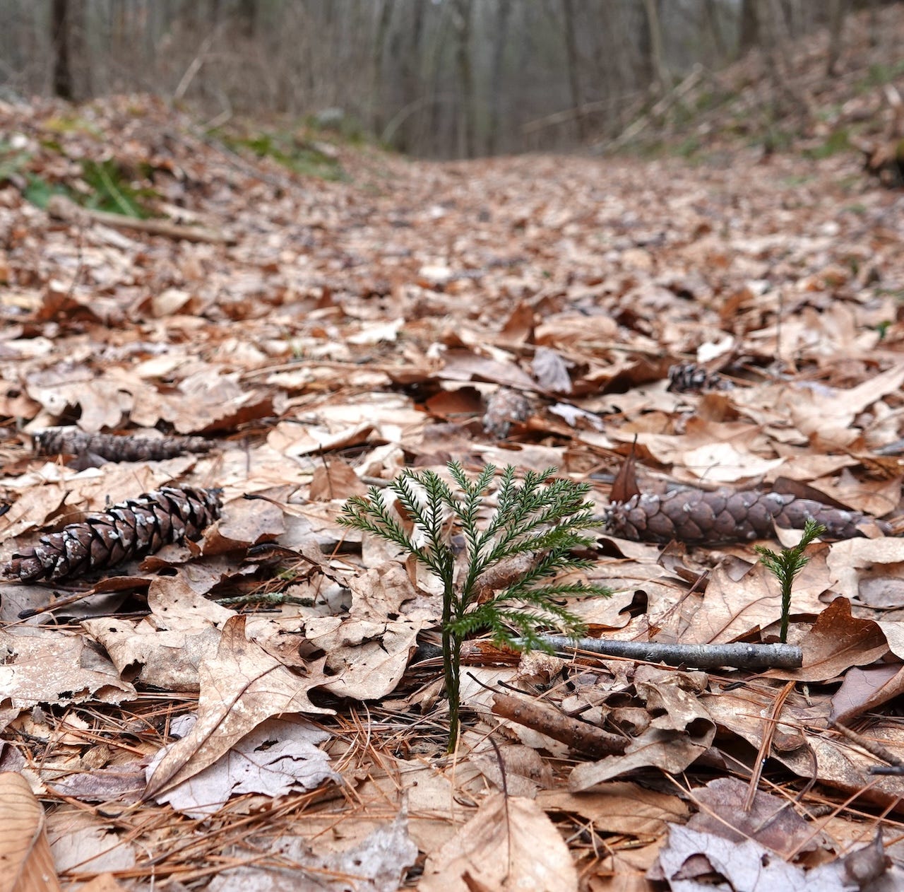
There is something about New England that inspires writers like HPL, Stephen King, and others. And I feel it when I’m there, in the right places. Like the Quabbin. The area reminds me of the Pine Barrens, in how quiet it is, and its abandoned towns. It’s a healthy ecosystem, as evidenced by the Princess Pine, or clubmoss, which we saw often on the overgrown trails.
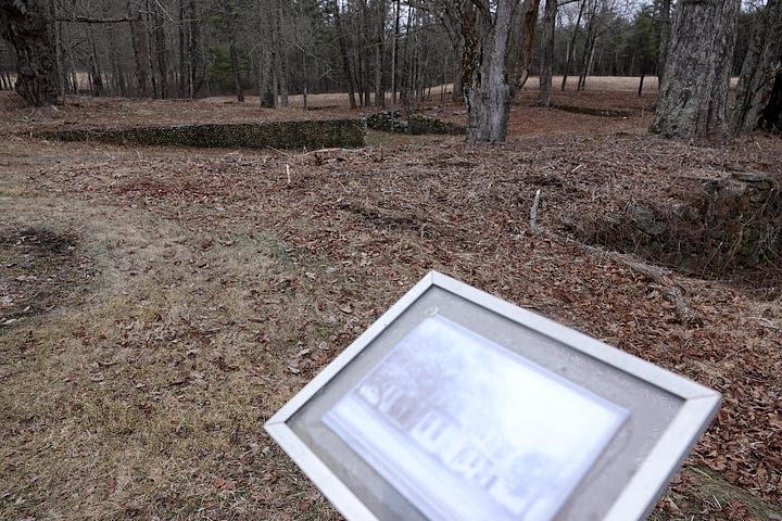
We saw red-breasted nuthatches, spotting their little silhouettes as they pecked at branches, hanging upside down, like their larger white-breasted cousins. We heard woodpeckers but they never showed; they sounded like red-bellied or flickers, maybe even pileated. Tufted titmice and robins abounded. The trails are well-trod, and we met a family of bicyclists at the Dana town commons, which are a national historic site, with markers designating where the church, the school, and other buildings were. The markers have faded photographs so you can imagine what once stood. The cemetery was moved nearby, and of course, that makes me think of Poltergeist and that the bodies remain underground. I stayed on the trail, lest I disturb someone’s grave.
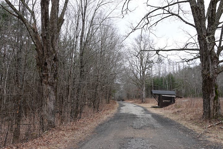
The entry paths to the Quabbin are now gated, but we found street signs and traffic markers that suggest they were open since our last visit; perhaps for deer or moose hunting. The ranger cabin (unoccupied) is little more than a gate shed, with a sign reminding you to fill out a Moose Sighting card, whether you saw one or not, and a handmade stool where the ranger must sit. We didn’t find any cards to fill out, to note that we thankfully did not encounter any moose. (They’ll stomp you to death, and I left my kukri in the car.)1
Despite the well-marked street signs, Andy was following a very old guidebook and the pages stuck together, and sent us down the wrong road. We realized our mistake a in a mile or two, and I used the Gaia app on my phone to look for trails. Amusingly enough, the site of the crashed Lockheed F-94A Starfire was marked right on the map, and a dotted line denoting a smaller, less-used trail, led directly from our location to the correct road to take.
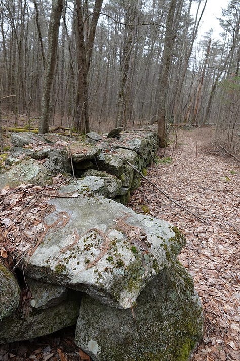
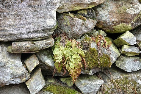
Like many of these lesser-traveled trails on Gaia—which is a great app for navigating without phone signal—this one was overgrown and hard to follow, and we lost it halfway through, following a stone wall built by a farmer over a hundred years ago. We found a large quartz boulder, plenty of Princess Pine, and I got to test out my new waterproof hiking boots in the trickle creeks that broke the path, but we found our way again, and our traipse turned a four mile trek into an eight mile one, working off the Sandwich Master gourmet reubens and subs we had the night before.
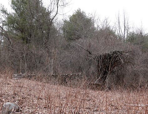
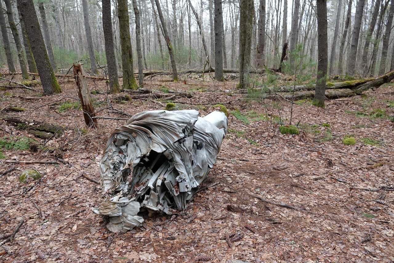
Once we found the correct road, the trail was easy. We were concerned that the plane wreckage might be gone or vandalized, after twenty years, now that its location was easily found on a popular trail application. And it did look different from our memories.
It looked better. There were some tags on wire stands—like they use to mark an underground cable or a lawn that’s been treated in the suburbs—with numbers and letters on them. We think they were the original locations of some wreckage, which was gathered around the crash site. I remember one piece that looked the bulb of a stabilizer, or even the nosecone, which was easy enough to lift; that was gone, if it ever existed, but there was as much, if not more, wreckage today than my twenty-year-old photos show.
Remember, we arrived after sundown, and had only a small flashlight (Geniuses, we remain.) So perhaps we missed some of the debris field. The area is now saturated with water, and what was once a depression where the fighter jet crashed (after the pilot ejected) is now a large puddle, with chunks of wreckage visible beneath the surface. It honestly looks curated, like a museum that locals take care of.

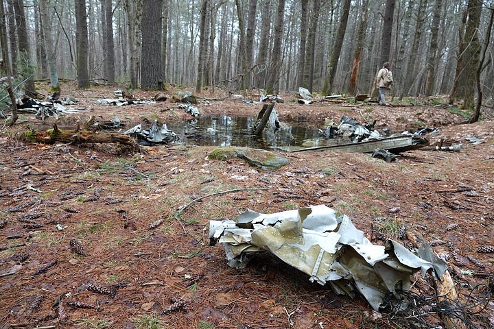

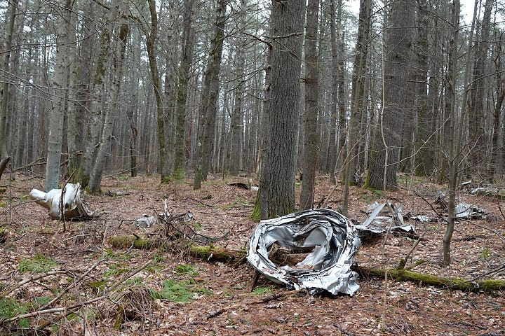
When I wrote about our first trek many years ago on a now infamous web forum, I refused to share even what state the wreckage could be found in, to keep it secret. To keep it safe. I won’t be sharing these on Reddit or anywhere else, but I hope they’re safe here.
As for the coyotes who tracked us on our way out in the dark, I had a flip phone in my pocket that jingled and attracted them. My flashlight beam didn’t illuminate any eyeshine, so maybe they were the ghosts of the people whose tombstones got moved, and their bodies left interred. This time, the only evidence of coyotes we encountered was scat on the trail.
We grabbed a well-earned beer at Lost Towns brewing in Hardwick, then stopped at Two Foxes Pizza for basil, garlic, and pepperoni pies to bring home to Kim and the dogs (who each got one bite of crust each.) I remarked to Kim, who by now is one of my oldest friends, that we’ve been doing this shit for 20 years, maybe longer. Kim and I met online nearly thirty years ago, and we still chatter like we did then, sharing our internet finds, the wordplay and thought jumps that our brains come up with.
I’m so happy that we collaborated on Vyx Starts the Mythpocalypse! The ebook is available for pre-order, and the paperback is scheduled for release on March 26th, with nearly three dozen illustrations. You can take a peek at the print proof here:

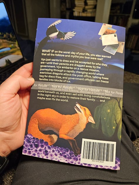
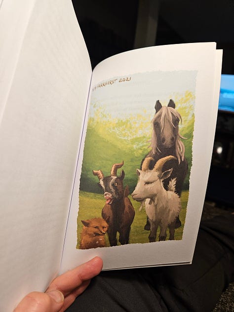
If you’d like a signed copy, they will be available soon.
This is a joke for Kim, who is delighted that I carry a Nepalese weapon in the trunk of my Subaru. It’s very good for cutting through fallen trees that are less than eight or so inches in diameter, which is why it’s there.


‘Brain clutter’? I think I most likely have to ’fess up. But good clutter, I trust.
I love your writing. Entertaining and informative!!